Map based
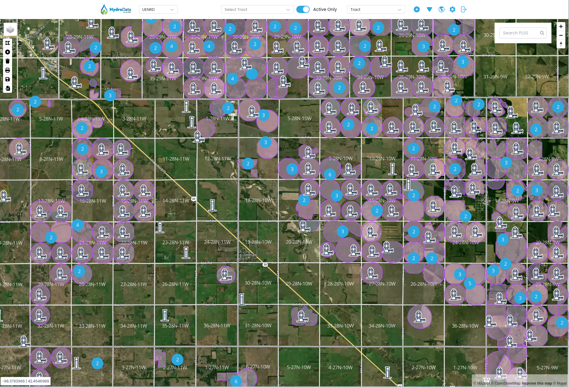
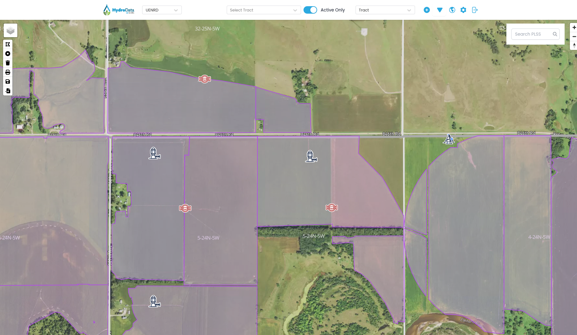
Tracts, parcels, wells, and flowmeters all have point-and-click locations.
Stop relying on spreadsheets, small local databases, text files, and GIS files. Use one system to enter, store, and analyze your data.
Trusted by more than 20 groups, including:





Location of items, updated usage, analysis, and reports — without becoming a GIS specialist or database engineer.
Tracts, parcels, wells, and flowmeters all have point-and-click locations.
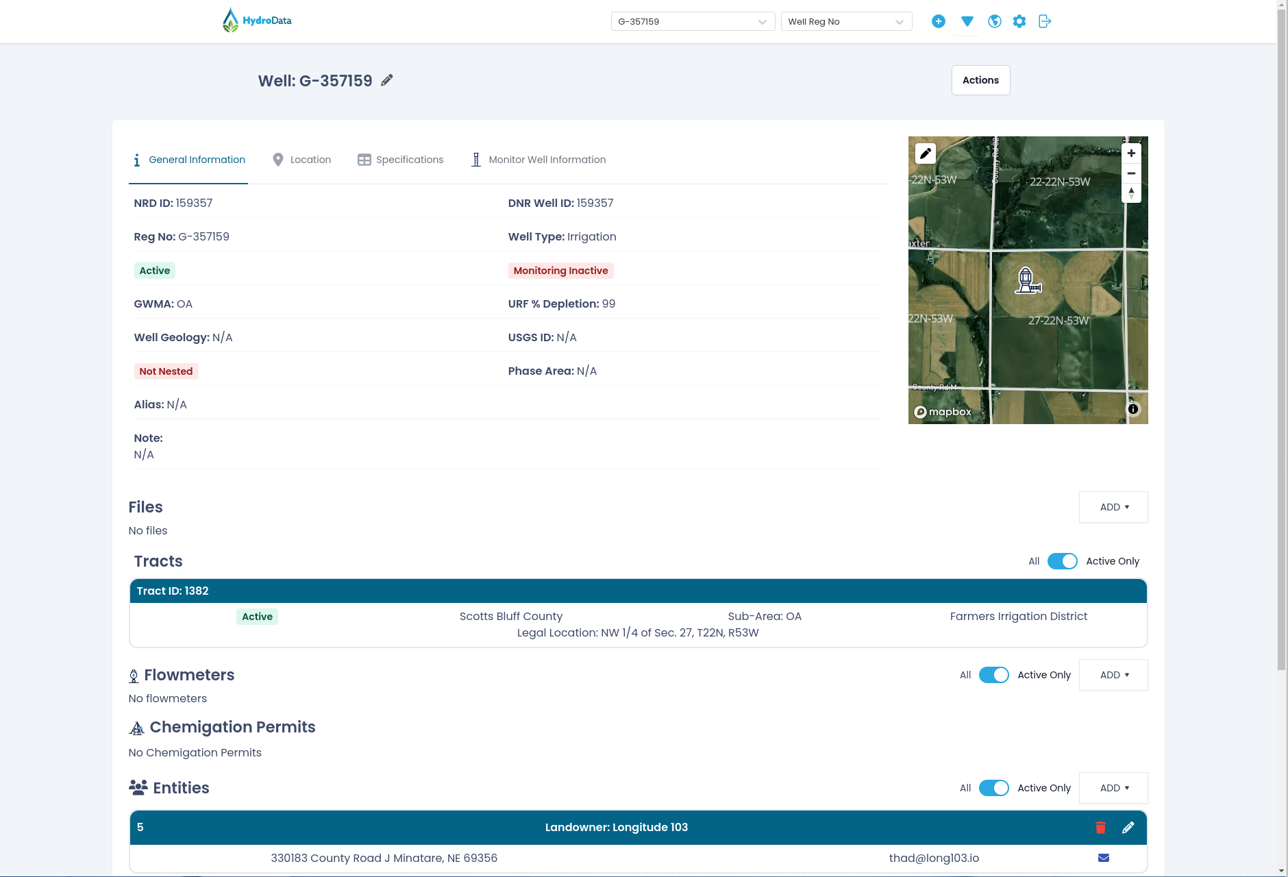
Fields for acres and dates on tracts, flowmeter readings, and water-quality samples on wells.
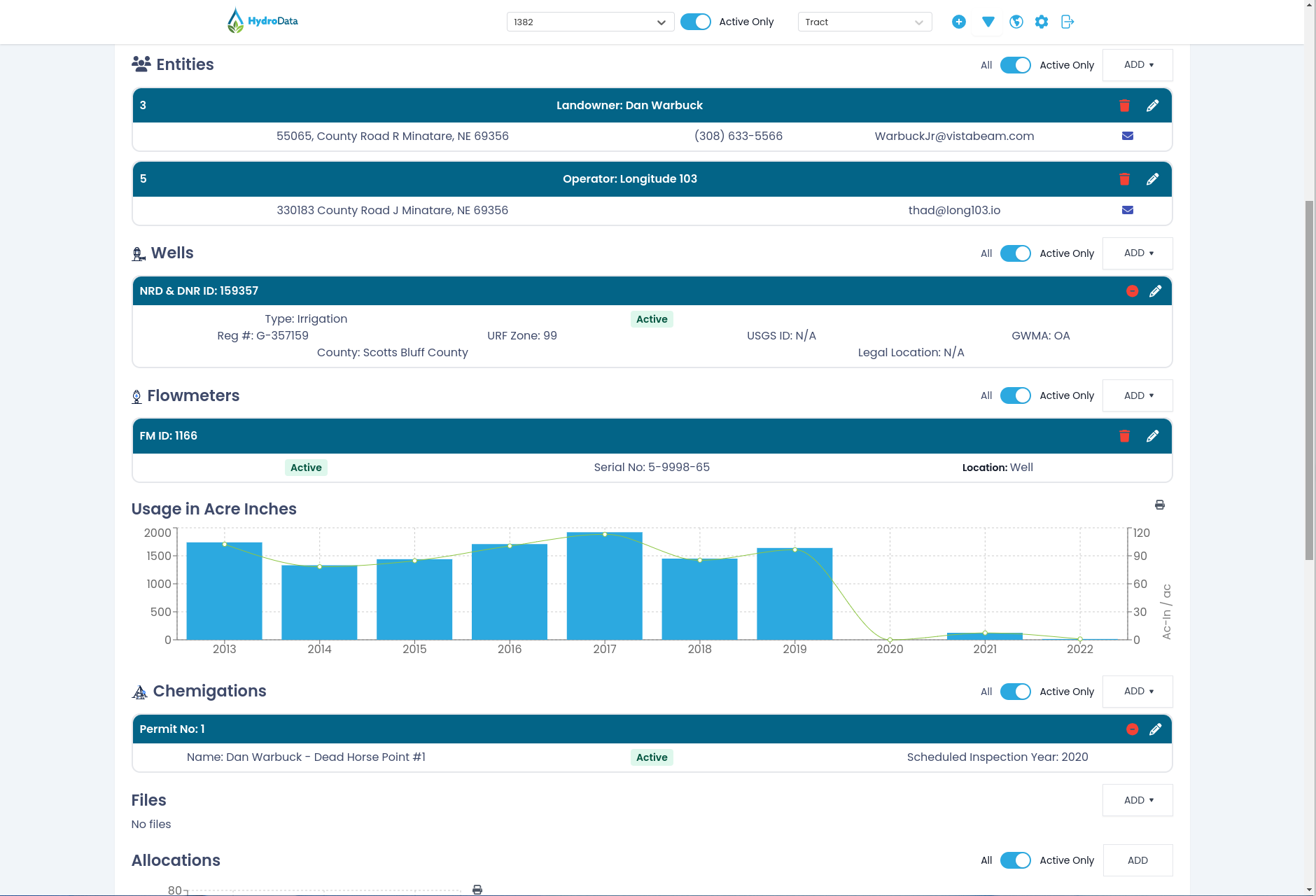
Relate flowmeters to wells, tracts to meters, and keep owners and operators on every component.
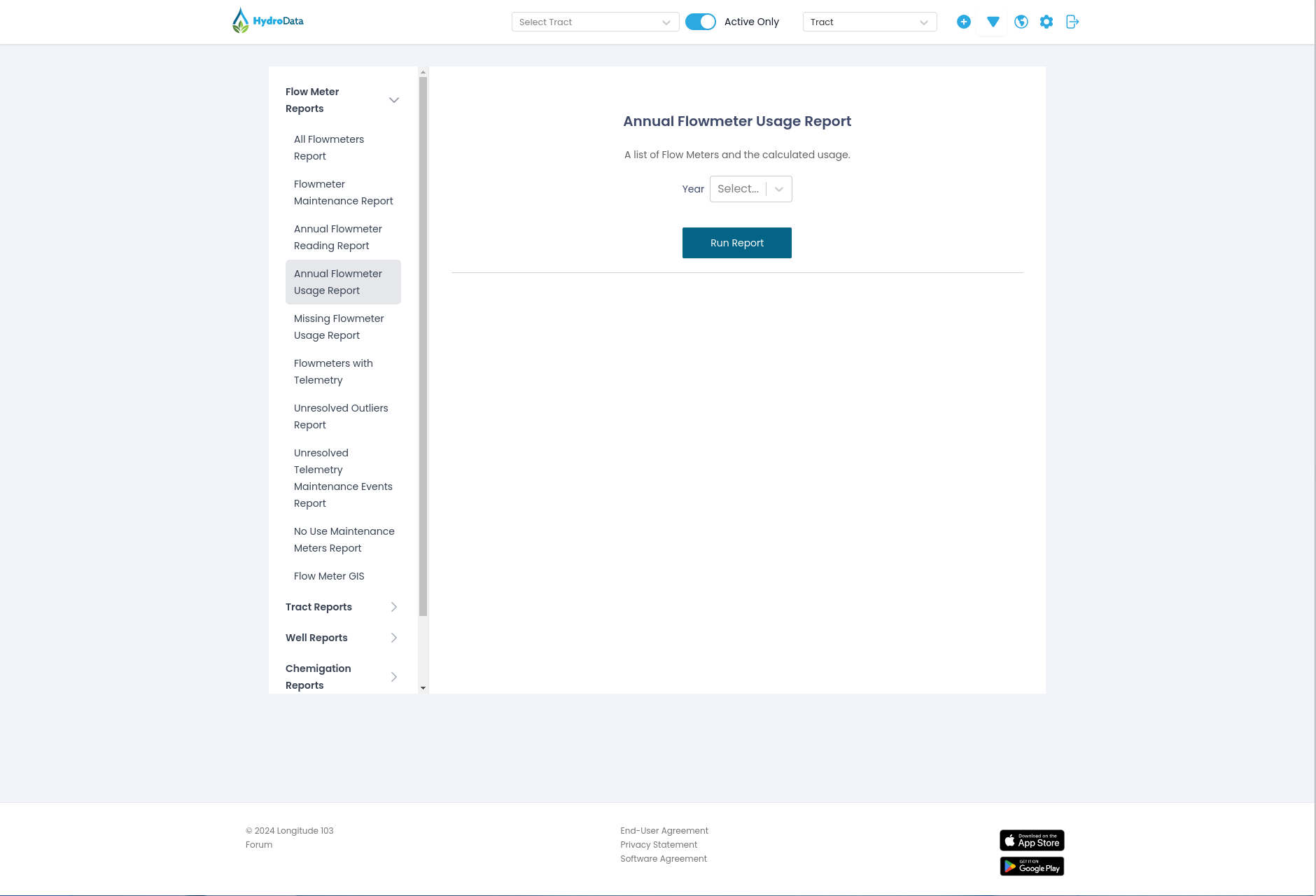
Selectable reports that export to GIS or spreadsheets for further analysis.
Make data entry, processing, retention, analysis, and updates to people a little easier.
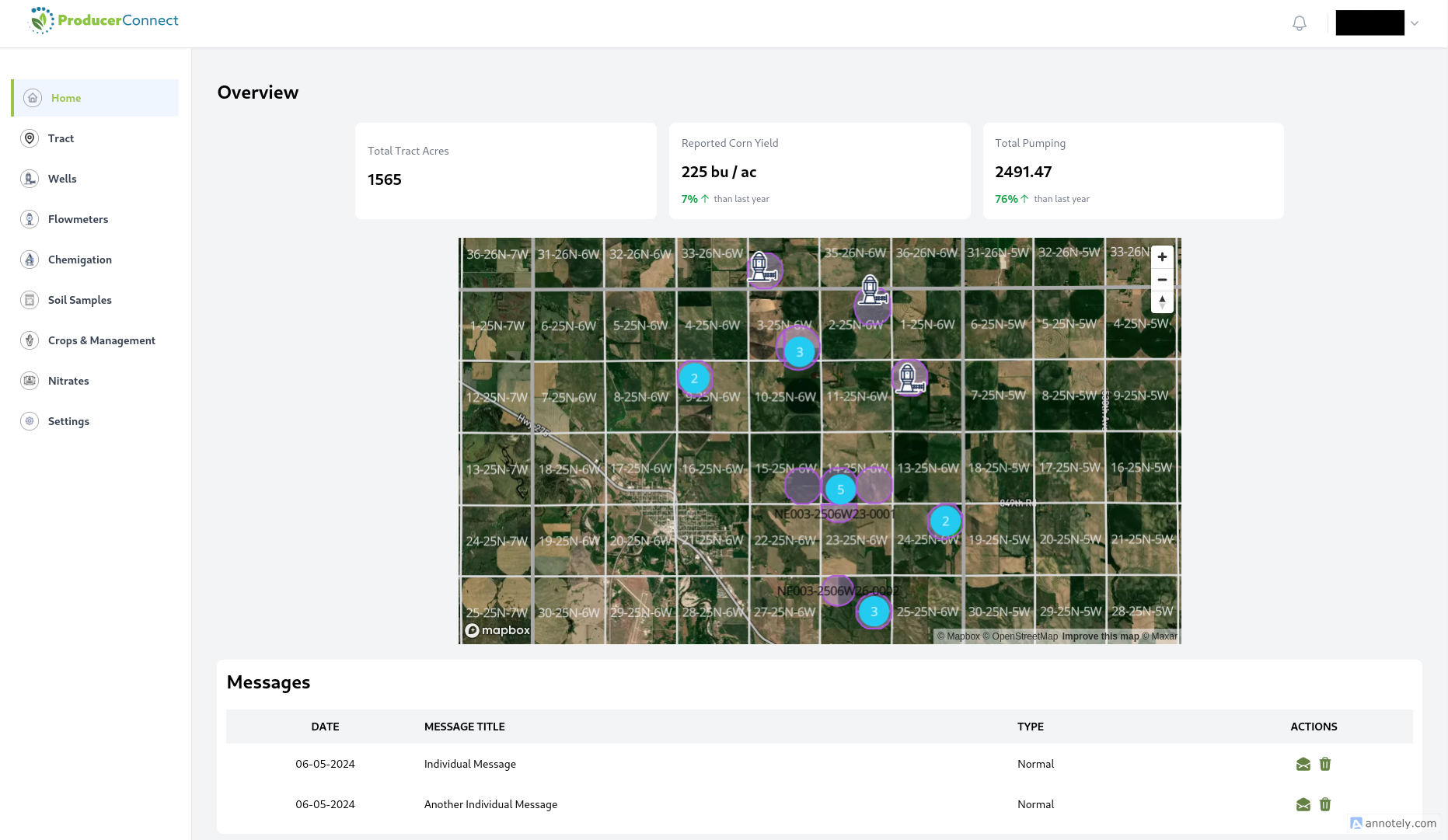
Let producers and users see their data and communicate quickly with the ProducerConnect add-on.
Field staff collect meter reads and water levels on iOS and Android, including areas with poor service.
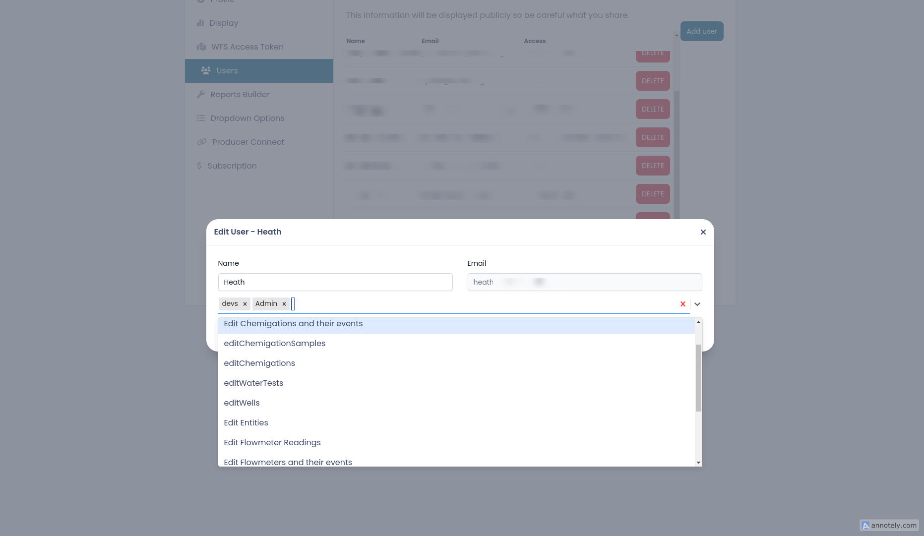
Access from administration to read-only so staff can see data without changing it.
Empower your staff to enter data and map items instead of acting as developers and database engineers.
Schedule a live demoAnnual subscriptions based on items or acres you track, plus add-ons you may want to include.
Base application
A strong starting point, with many features and mobile apps included.
ProducerConnect
Members sign in, view their data, submit reports, and receive messages.
Dam inventory
Inventory dams and record inspections and maintenance.
Questions prospective users often have when deciding if HydroData is a good fit.
Industry-standard web maps for displaying all types of data.
Yes. Items can exist without a location, and you can collect it later in the mobile apps.
Yes. Anyone can move a location or update a boundary — no GIS specialist required.
Associate tracts to flowmeters, structures, wells, chemigations, entities, crop reports, and soil tests.
No limit. Classes are owners, operators, contacts, and consultants. Inactive records keep history.
Yes. Collect data on the device and save it when you are back on Wi-Fi.
No. It is an add-on that lets people sign in to data that lives in HydroData.
The annual subscription covers updates during that period.
Subscribers can purchase feature requests. Contact us for details.